The Inherent Limitations of Airpower in Winning Wars: A Strategic and Historical Assessment
Executive Summary
Advances in artificial intelligence, precision munitions, cyber operations, and drone technology have led some analysts to suggest that the nature of warfare has been fundamentally transformed —that technological superiority can now achieve strategic objectives once requiring ground forces and territorial control. This commentary challenges that theory. Drawing on military theory, established geopolitical scholarship, and historical case studies from antiquity to the present, it argues that geography remains the permanent variable in warfare —that airpower and technology can degrade, disrupt, and decapitate but cannot occupy, govern, or replace the physical logic of territory. It further examines how states throughout modern history have applied this insight to project power across borders using geographic proximity and neighboring populations as strategic tools, and what the long history of that practice means for small states and regions caught at the intersection of great power competition.
The debate between technology and geography in war began in 1911, when aircraft were first deployed in combat during the Italo-Turkish War in Libya. Across history, military thinker Giulio Douhet's 1921 treatise The Command of the Air argued that from strategic bombing to precision-guided weapons AI-driven targeting, and autonomous drone swarms, each generation of military technology has produced a version of the same claim, which could overcome the limitations imposed by geography.
Academic scholars on airpower theory have consistently pushed back against this claim. As Colin Gray —one of the foremost scholars of strategic theory —wrote in his analysis of airpower's role in future warfare, "Airpower can be decisive in both warfare and in war.” Note the qualification “can.” Also, airpower may not be decisive. It may just be a supporting agent for a struggle on land. " More recently, geostrategy scholars Geoffrey Sloan and Colin Gray have described geography as "the mother of strategy"—the permanent context within which all military technology, however advanced, must operate.
Geography is the mother of strategy." — Colin Gray and Geoffrey Sloan, strategic theorists. Every generation of military technology has claimed to transcend this truth. None has succeeded.
Geoffrey Sloan and Colin S. Gray, editors of Geopolitics, Geography and Strategy
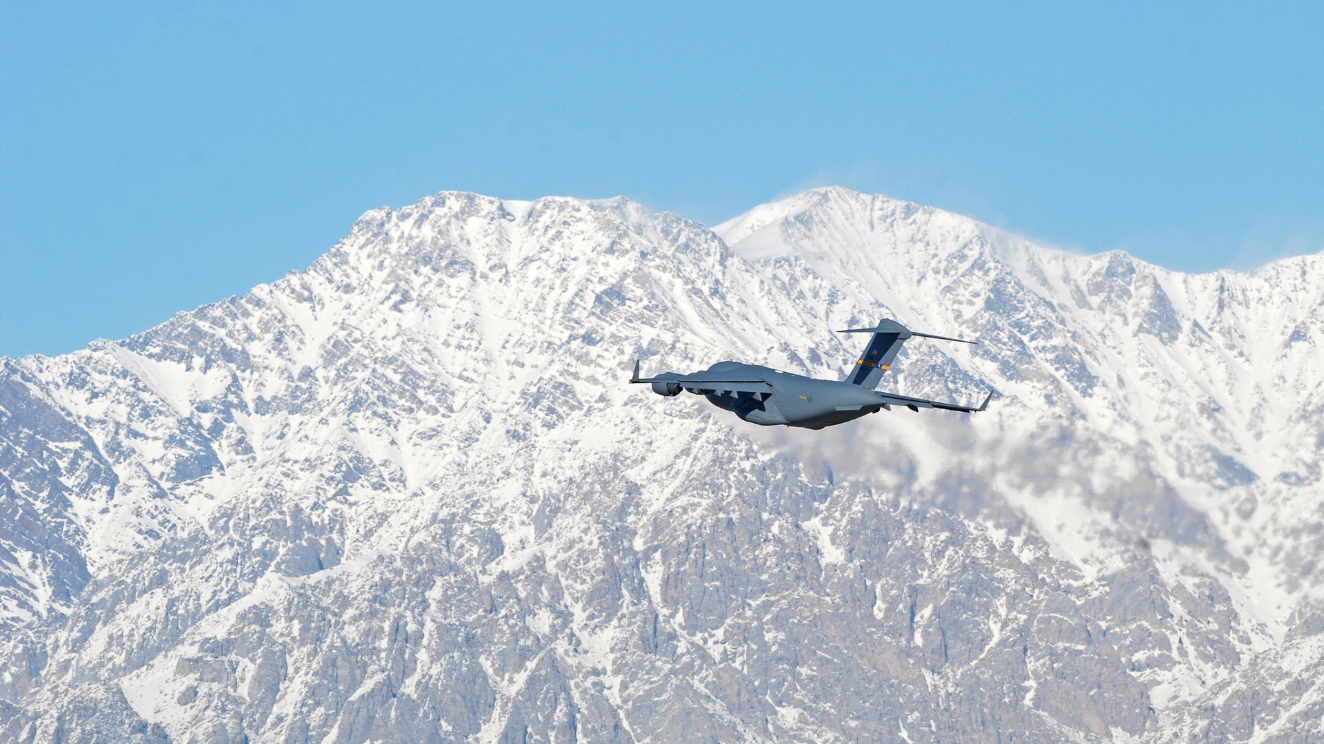
The ongoing war in the Middle East is defined by the clash between technology and geography with heightened intensity. Modern technology airstrikes, powered by satellite intelligence and AI assistance, have achieved results that would have been unimaginable twenty years ago. Yet the central issue of territorial issues—who administers and who holds the ground —remains unresolved by AI powers alone.
What Airpower Can and Cannot Do: The Historical Evidence
The historical record on this question is extensive and consistent. The table below summarizes six major conflicts in which airpower played a dominant or leading role and in which the interaction between air capability and geographic/ground factors determined the outcome.
| Conflict | Airpower Role | Geographic/Ground Factor | Outcome | Lesson |
| WWII—Germany | Allied strategic bombing of industry, cities. | Ground forces required to enter and hold territory. | Surrender after ground invasion. | Bombing accelerated but did not decide. |
| Korea 1950–53 | UN air superiority; infrastructure strikes. | Mountainous terrain; Chinese ground entry. | Armistice; borders unchanged. | Stalemate despite air dominance. |
| Vietnam 1965–73 | Largest bombing campaign in history. | Jungle terrain; Ho Chi Minh Trail geography. | U.S. withdrawal; NV victory. | Geography negated air advantage. |
| Kosovo 1999 | 78-day NATO air campaign. | Serbian forces dispersed in terrain; Russian diplomacy was decisive. | Milosevic withdrew; political settlement. | Diplomacy and ground threat ended conflict. |
| Iraq 2003 | Shock and awe; regime decapitation. | Ground forces needed to occupy; insurgency followed. | The regime fell; prolonged occupation failure. | Conquest ≠ governance. |
| Libya 2011 | NATO air campaign; no ground troops. | No stabilizing ground force; governance vacuum. | Gaddafi fell; state collapse followed. | Airpower without governance = fragmentation. |
Across all six examples, the pattern is clear: airpower by itself has never delivered a durable strategic success. In every instance, success depended on realities on the ground: occupation, insurgency, diplomatic settlement, or governance. As Air University's study of Kosovo concluded after 78 days of NATO bombing, the pattern across these six cases is consistent and instructive. In no instance did airpower alone produce a durable strategic outcome. In each case, the decisive factor was ultimately a ground-level reality —occupation, insurgency, diplomatic settlement, or the absence of governance. The 78-day NATO bombing campaign succeeded not because bombing alone compelled Serbian withdrawal, but because "the combination of air pressure and the ground threat from the Kosovo Liberation Army and Russian diplomatic intervention together produced the political conditions for settlement." Remove any one of those three elements —particularly the ground and diplomatic dimensions —and the outcome changes. This argument is not a criticism of airpower. It is a statement of what airpower is: a tool of coercion and destruction, not a tool of governance.
The Fortress: Iran’s Geographic Permanence in Historical Perspective
To understand why these general principles have relevance to the current conflict, one must examine the specific geography of Iran —a subject that military theorists and historians have addressed with remarkable consistency across centuries. As analysts at The National Interest have documented in their strategic assessment of Iranian geography, Iran presents one of the most formidable defensive geographic profiles of any state in the world: the Zagros mountain range extending over 1,500 kilometers along its western and northwestern frontier, the Alborz range along its northern border, the Dasht-e Kavir and Dasht-e Lut deserts occupying its central plateau, and the Persian Gulf and Gulf of Oman forming its southern boundary. These are not obstacles that technology can relocate.
Historical precedent shows that after the victory at Gaugamela in 331 BCE, Alexander's success relied on moving through and around the mountain passes rather than overcoming the terrain itself. The Mongol invasion of Persia in the 13th century, as documented by Britannica's historical analysis, bypassed the mountain barrier rather than attempting to conquer it. The Ottomans penetrated the Zagros but struggled to maintain consistent control of the Persian interior beyond practical administrative reach. Despite Iraq's initial conventional military superiority, the Iran-Iraq War of 1980–1988—launched with the expectation of a swift victory —produced eight years of attrition and ended with borders essentially unchanged, at a combined cost estimated at one million lives. As military historian John Keegan observed, the Zagros and the Shatt al-Arab waterway defined the boundaries of what was possible in the war.
The lesson these precedents teach is not that Iran is invincible. It is that the geography of Iran systematically advantages the defender and penalizes the attacker —and that this advantage is a permanent feature of the strategic landscape that no generation of military technology has been able to neutralize. Airpower can strike targets throughout Iran with remarkable precision. It cannot flatten the Zagros. It cannot drain the deserts. It cannot relocate the mountain populations who have resisted external control since antiquity.
The Mongols approached from the northeast, not the west, because the western mountain barrier was beyond even their military capacity to overcome. The Ottomans reached the same conclusion. So did Saddam Hussein in 1980. Geography does not change with the century—only the weapons pointed at it do.
Colin S. Gray, author of "Inescapable Geography" in Geopolitics, Geography and Strategy.
The Proxy Principle: How States Projects Power Through Geographic Proximity
Recognizing the limits of the direct military forces against geography, great powers have historically turned to an alternative strategy: relying on nearby populations and territories as platforms for influence and power projection. This is neither a new nor a unique regional strategy. It is a structural feature of proxy warfare, and the use of nearby territories reflects how states compensate for the military limitations imposed by geography.
Academic scholarly writings on this pattern are substantial. As documented in analysis published in Small Wars and Insurgencies, proxy-based power projection allows states to "expand influence while avoiding direct confrontation and the costs and risks associated with conventional warfare against conventionally more powerful adversaries." The logic is geographic at its core: a state that cannot project power directly across a fortified border can often project it indirectly through a sympathetic population or a compliant neighboring state. The proxy is not merely an ideological ally —it is a geographic instrument, chosen primarily for its position on the map.
The most notable modern application of this principle is the Axis of Resistance in the Middle East, a term coined by Iran to describe groups across the region and organizations spanning Lebanon, Iraq, Syria, Yemen, and the Palestinian territories. The network was constructed on consistent geographic logic: each node was selected for its territorial position as much as for its political alignment. Each country's role was defined by geography: Lebanon provided a border with Israel, Iraq provided a land corridor toward the Mediterranean, Yemen commanded the Bab el-Mandeb straits and the Red Sea, and Syria served as the physical bridge connecting these elements together. The U.S. State Department has estimated that Iran provided over $700 million annually to Hezbollah at its peak and more than $16 billion to Syrian forces between 2012 and 2020—investments that were, strategically, payments or geographic positioning as much as for political loyalty.
This principle is not unique to the current era or to any single state. A historically instructive parallel is the Soviet Union's use of Kurdish and Azerbaijani populations in northwestern Iran in 1945–1946. Following the joint British-Soviet occupation of Iran during the Second World War, Soviet forces in the northern occupation zone used their geographic foothold to support the establishment of two autonomous governments: the Azerbaijan People's Government in Tabriz and the Republic of Mahabad in the Kurdish northwest, proclaimed on January 22, 1946, under President Qazi Muhammad. As documented by the International Centre for Defense and Security, the Soviet strategy was explicitly geographic: the Kurdish and Azerbaijani populations of northwest Iran were used as instruments of influence in a region that Soviet conventional forces occupied physically but could not politically absorb. When Soviet forces withdrew under U.S. and British diplomatic pressure later in 1946, both governments collapsed —demonstrating simultaneously the power of geographic positioning and its dependence on sustained physical presence to remain viable.
The Mahabad case is instructive for another reason. It illustrates how populations are instrumentalized as a great power for geographic competition. The Kurdish population was used by the Soviets for less than a year, until those interests shifted. Qazi Muhammed was executed after the Soviet withdrawal on March 31, 1947. The pattern —a great power exploiting geographically positioned populations as a strategic instrument, then withdrawing when calculus changes —has recurred in the Kurdish context in 1975, in 1991, and repeatedly during the Syrian conflict. For the small states, the lesson is clear: geography situates them at the crossroads of competing great power interests.
The AI and Cyber Dimension: New Tools, Unchanged Logic
A fair account of this argument must engage directly with the strongest version of the counterclaim: that artificial intelligence, cyber warfare, and precision-guided munitions have genuinely changed the strategic calculus in ways that the historical record does not capture. This is a serious argument that deserves a serious response.
AI has enhanced airpower in both precision and lethality. Satellite-based systems allow real-time tracking of military assets. Cyber operations can cripple systems, networks, and critical infrastructure without a single aircraft crossing the border. These technological improvements and their military utility are not in dispute. The key question is whether these advances alter the fundamental relationship between airpower and territorial control, and the evidence suggests they do not.
Artificial intelligence improves the precision of destruction. It does not resolve the governance problem that destruction creates. The gap between military success and political outcome—between bombing a state into submission and replacing it with something stable—is a geographic and human problem that technology has never solved and cannot solve.
Colin S. Gray, strategic theorist on technology's geopolitical limits in Geopolitics, Geography and Strategy
As geostrategy scholar Tovy documents in his analysis of 21st-century military operations, the twenty-first century has not rendered geography obsolete, and "modern military operations remain contingent on the geographical-physical dimension"despite technological transformation: the reason is structural; AI improves the ability to find and destroy targets, but the challenge of governance, occupation, and population control is not a targeting problem. It is a physical presence problem. A cyberattack can disable a power grid. It cannot replace the government that manages it. A precision strike can destroy a command center. It cannot install the political authority that fills the vacuum. The governance gap that opens after successful military operations is, by its nature, a geographic and human problem that no algorithm can solve.
Content Type:Commentaries